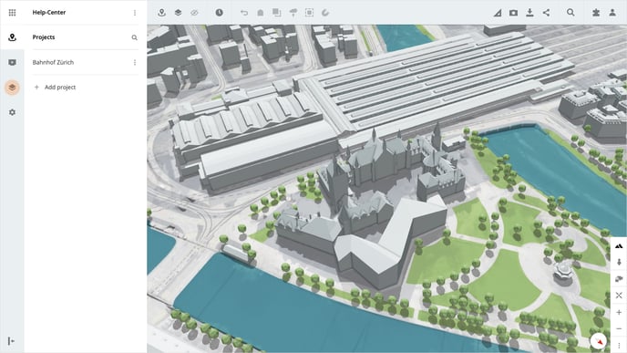
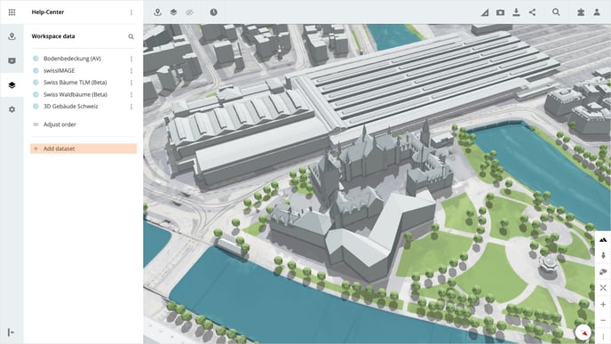
Workspace data
Open the workspace data in your workspace by clicking on Workspace data in the navigation pane on the left. All datasets available in your workspace are listed here. The list can be shortened, extended, or edited at any time.
Add your own dataset
To add your own 2D or 3D dataset click on the button Create dataset.
Here you now have four different options to create your own data set.
- Select Import 2D data if you want to upload your own 2D file from your computer.
- Select Connect map service if you want to connect a 2D map via a URL.
- Select Import 3D data if you want to upload your own 3D file from your computer.
- Select Connect 3D Data Source if you want to connect a 3D dataset via a URL or Cesium ION Assets.
Import 2D data
When importing 2D data, you can upload the following formats:
- png, jpg, pdf, or tiff.
If your 2D data does not have any location information, the localization on the map is started automatically after the import.
Connect map service
If you want to connect an online map service to LUUCY via a URL, you can do this via the Connect map service option. The following services are supported_
- WMS/WMTS, TMS, OSM, URL and ARCGIS
Import 3D data
For a 3D data import, select "Import 3D data" and upload your data as a ZIP file. The supported formats are:
- OBJ, DAE, SHP, IFC, 3D Tiles, CZML, or GeoJSON.
Tip: If you want to import your 3D model directly into a variant, you can do this via the 3D import function directly in the toolbar of the variant.
Connect 3D Data Source
You can also import 3D data via a URL or as a Cesium ION asset by selecting the Connect 3D Data Source option.
Is there anything we could change to make this article helpful?