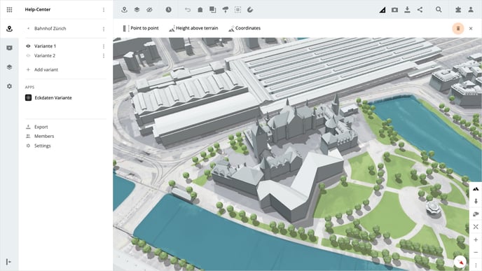
Measurement functions
Open the desired variant and click on Measurement in the toolbar at the top. You have three tools at your disposal.
Point to point
Click on Point to point to start the function. The first click in the map sets the starting point and the second click sets the end point of the route.
You are now given two numbers, the blue line is the distance from the start to the end point and the red line is the difference in height between the two points.
Height above terrain
Click on Height above Terrain to start the function. Click on the desired point on the map, then the height above terrain for the point is given.
Please note that, the accuracy of the height of an object above the terrain depends on the accuracy of the object, as well as the terrain below it.
Coordinates
Click on Coordinates to start the function. Click on the desired point on the map, then the coordinates are given in the LV95 (swiss national survey) and WGS systems.
Delete measurements
Measurements can be removed by clicking on Delete Measurements. This does not close the measurement tool and further measurements can be taken.
Please note that all measurements are deleted when you close the measurement functions.
Is there anything we could change to make this article helpful?